
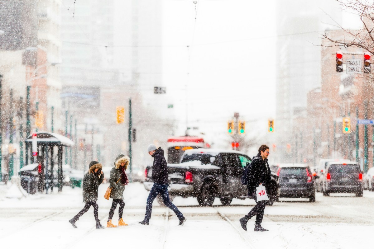
If you're planning on driving anywhere in northern Michigan, the Midwest, or the Pacific Northwest over the next few days, read this before getting behind the wheel. A serious early-March storm system is spreading across the country, and it's the kind that catches drivers off guard with conditions changing faster than most people expect.
The system is bringing a mix of heavy snow, freezing rain, severe thunderstorms, and flash flooding across several regions, all of which can create dangerous driving conditions. Here's what’s happening and what it means for your car.
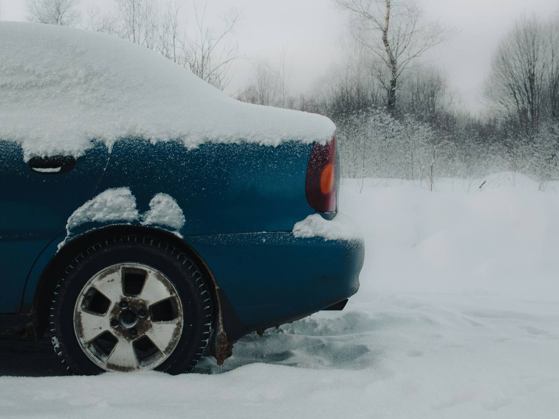
Northern Michigan: Up to 9 Inches of Snow, Ice on the Roads
The National Weather Service has issued a Winter Storm Warning for Marquette County in Michigan's Upper Peninsula, running from Tuesday evening through Wednesday afternoon (March 10–11). Depending on location, that means 4 to 9 inches of snow, with higher elevations around Marquette likely seeing the worst of it.
Freezing rain and sleet are also moving through the broader Upper Peninsula and northern Lower Peninsula, and ice accumulations of nearly a third of an inch are possible between Alpena and Tawas City. That’s the kind of ice that coats roads before you can see it and makes braking in a straight line difficult even in a well-equipped vehicle.
Wednesday’s morning and evening commutes are expected to be particularly hazardous. If you can delay travel, it may be the safer option.
Midwest and Plains: Severe Storms, Hail, and Flash Flooding
Another part of this system is pushing through the Midwest and central Plains in the form of severe thunderstorms rather than snow.
Two zones are worth watching. One stretches from the Great Lakes into the Missouri Valley, where conditions could produce tornadoes, large hail, and damaging winds. The other covers western Texas and parts of the southern Plains, where storms could organize into a fast-moving line capable of producing very large hail and intense straight-line winds.
Flash flooding is also a real risk, especially where storms repeatedly hit the same areas. Flooded roads remain one of the most dangerous and underestimated hazards for drivers: even a foot of moving water can sweep a car off the road.
Pacific Northwest: Blizzard Conditions in the Mountains
A new atmospheric river is arriving mid-week, bringing heavy rain to lower elevations and feet of snow in the mountains. The Cascades and Olympic Mountains are expected to see the worst of it, with strong winds reducing visibility to near zero in some mountain passes. Anyone planning to drive through mountain highways in Washington or Oregon should check road conditions before leaving and prepare for rapidly changing weather.
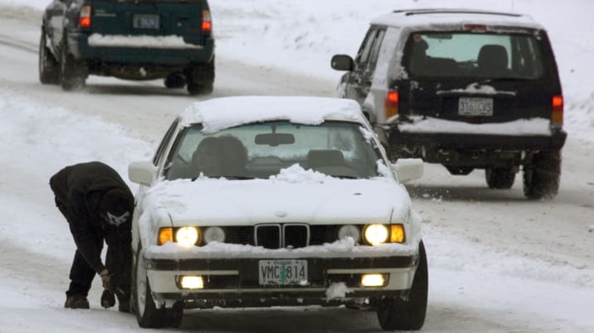
How to Handle Your Car in These Conditions
These aren't conditions where slowing down slightly is enough. On snow and ice, make sure to increase your following distance significantly. Braking distances on packed snow or ice can be up to ten times longer than on dry road. Smooth, gradual steering, braking, and acceleration are critical for maintaining control.
Freezing rain can be even trickier because roads often look wet rather than icy. Black ice is hardest to detect at night and commonly forms on bridges, overpasses, and shaded areas where surfaces stay colder.
When it comes to flooded roads, there is one simple rule: do not drive through them. Even shallow moving water can push a vehicle off course. High winds also create hazards, especially for larger vehicles like SUVs, trucks, and vans. Strong gusts can push vehicles across lanes, particularly on open highways.
What to Keep in Your Car This Week
If you're driving through any of the affected areas, it’s worth taking a few minutes to prepare a basic emergency kit. Recommended items include:
- Flashlight
- Phone charger or power bank
- Blanket or extra layer
- Water and snacks
- Ice scraper and small shovel
- Jumper cables or jump starter
- First-aid kit
- Sand or cat litter for traction
Most of these items are inexpensive and can make a major difference if you become stranded. This storm system is moving quickly and affecting a wide area. Check forecasts before leaving, allow extra travel time, and be prepared for conditions to change rapidly.


There are no reviews to display.