
March 30 looks like a quiet late-winter date on the calendar. But the weather record tells a different story. From interstate-closing blizzards on the Northern Plains to tornadoes touching down in downtown Alabama, this date has produced some of the most dangerous driving conditions in recent U.S. history.
The 2009 Northern Plains Blizzard: I-29 and I-90 Go Dark
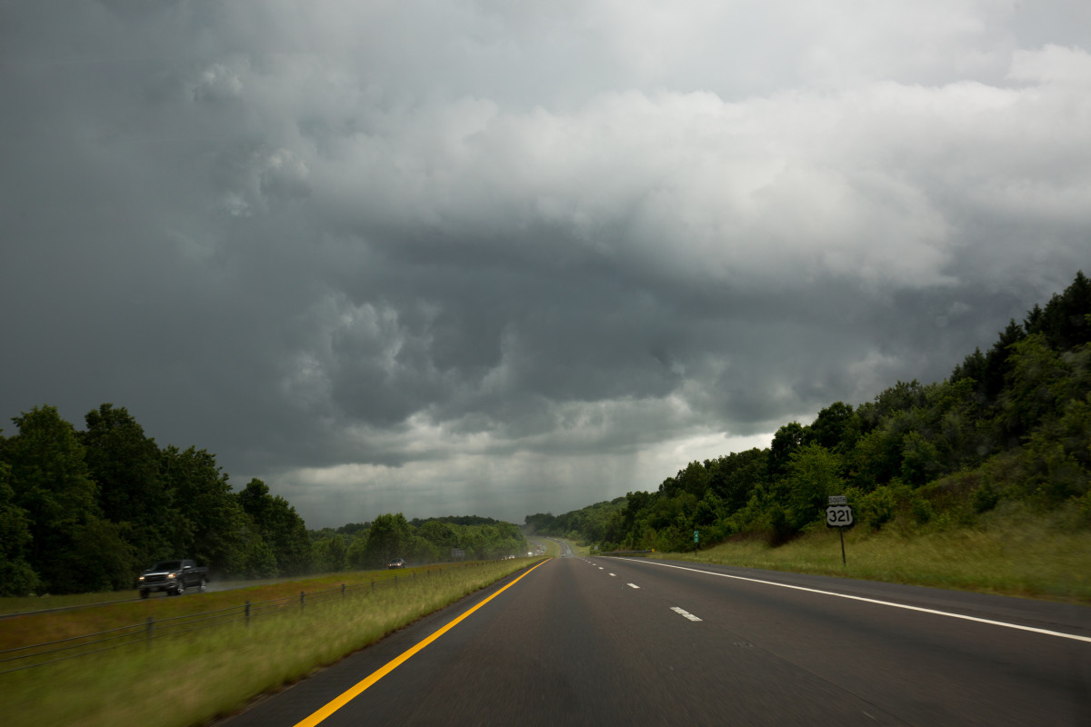
The most severe March 30 highway event in modern record is the 2009 Northern Plains blizzard, which the NWS Aberdeen office documented in full. The storm swept across the Northern Rockies and drove deep into the Northern Plains, producing snowfall totals ranging from 2 inches in lighter-hit areas to nearly 22 inches in the hardest-hit zones of central and northern South Dakota.
The highway impact was immediate and total. The NWS confirmed that Interstate 29 from Watertown to the North Dakota state line was shut down entirely, and Interstate 90 across Jones and Lyman counties closed as well. Schools canceled. Events canceled.
Snowfall totals gave a sense of the storm's reach: Aberdeen, Britton, Andover, Sisseton, and Faulkton each recorded a foot of snow. Redfield, Webster, and Miller reached 14 inches. Ree Heights and McLaughlin saw 20 inches. A location northwest of Stephan recorded nearly 22 inches. These are not marginal accumulations — at these depths, even four-wheel-drive vehicles face serious traction loss on unplowed state routes and county roads.
The storm also struck at one of the most vulnerable moments for Great Plains ranchers: calving season. The combination of extreme cold, snow, and wind cost area livestock operations significant losses that week. For drivers passing through South Dakota or North Dakota on I-29 or I-90 in late March, the 2009 event stands as a benchmark for how quickly a late-winter storm can make major interstate travel impassable.
Getty Images
The 2007 Southern Plains Outbreak: March 30 Tornado Watches in Texas
March 30 also sits inside one of the most prolific tornado outbreak sequences in modern Plains history. The Storm Prediction Center issued a moderate risk for severe weather on March 30, 2007 for south-central Texas into northern Mexico as part of a multi-day outbreak that ultimately produced 80 confirmed tornadoes across the central United States between March 28 and 31. The system generated widespread hail as large as softballs and straight-line winds reaching 90 mph across the region.
The outbreak spanned a corridor from South Dakota to central Texas, with the most intense activity along the High Plains from western Nebraska through western Kansas and into Oklahoma and Texas. Several tornadoes were large and structurally significant. The event serves as a reminder that late March is not a shoulder season for severe weather in the central U.S. — it is the opening act.
Jonathon Ramsey
The 2025 Dothan Tornado: A School Hit on March 30
The most recent major March 30 weather event came in 2025, when an EF1 tornado struck the downtown area of Dothan, Alabama, hitting Dothan Preparatory Academy and injuring five students. The broader severe weather system that spawned the tornado also resulted in two deaths across the region and knocked out power to more than 100,000 customers.
The Dothan event is a sharp reminder that tornado-producing systems do not limit themselves to rural corridors. Urban streets, school zones, and commercial districts all carry the same exposure risk when a confirmed tornado is moving through a populated area. Interstate 10 and U.S. 231 both pass through the Dothan metro, and a tornado at the EF1 threshold is fully capable of pushing vehicles off roads and collapsing signage onto travel lanes.
What Drivers Should Know
When a Winter Storm Warning is in effect across the Northern Plains or Upper Midwest in late March, the I-29 and I-90 corridors should be treated as potential closure zones. The 2009 event did not offer a long build-up window — the storm moved fast, accumulations climbed quickly, and the interstates closed. If travel is necessary, file your route, carry emergency supplies, and monitor the NWS Aberdeen office or Weather Prediction Center for real-time road impact language.
In the South and Southern Plains, late March is firmly inside severe weather season. Tornado Watches and Warnings can go active with relatively short lead times once a supercell gets organized. If you are driving through Alabama, Mississippi, Texas, or Oklahoma and a Tornado Warning is issued for your county, pulling off the road and getting into a reinforced structure is the correct response — not continuing to drive in hopes of outrunning the storm.
Keep An Emergency Kit In Your Vehicle
Whether the threat is a blizzard on I-29 or a supercell approaching the I-10 corridor, a properly stocked emergency kit gives you options when conditions deteriorate faster than expected. Every vehicle should carry a blanket, flashlight, phone charger, water, non-perishable snacks, a first aid kit, and a basic tool kit. Drivers on northern routes in late winter should add a collapsible shovel, sand or cat litter for traction, and tire chains for mountain passes. In blizzard conditions, staying with your vehicle is almost always safer than attempting to walk for help.
Tires Are Your First Line of Defense
The 2009 Northern Plains blizzard arrived at snowfall depths that overwhelmed standard all-season tires quickly. A tire with the Three-Peak Mountain Snowflake (3PMSF) rating is designed to maintain traction in sustained snow and ice conditions. Tread depth also matters: at 4/32" or less, a tire's ability to channel slush and snow is significantly reduced. Cold air itself is a compounding factor — tire pressure drops approximately 1 to 2 PSI for every 10-degree drop in temperature, meaning a tire inflated for a 50-degree afternoon may be underinflated by morning after a hard overnight freeze.


There are no reviews to display.